
Mridula Garg, "Land Survey Map", contributed by Mridula Garg, Sab Garduno and Kim Fortun, Center for Ethnography, Platform for Experimental Collaborative Ethnography, last modified 23 April 2024, accessed 23 February 2025. http://centerforethnography.org/content/land-survey-map
Critical Commentary
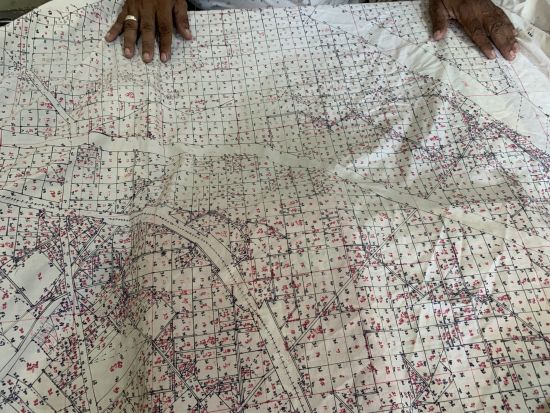
Lattha or Shujara. A map on cloth depicting a district of Punjab which is used by the revenue office on the field for verification.